The perfect picnic: Biking to England Run waterfall proves fruitful, features scenic journey
4 min read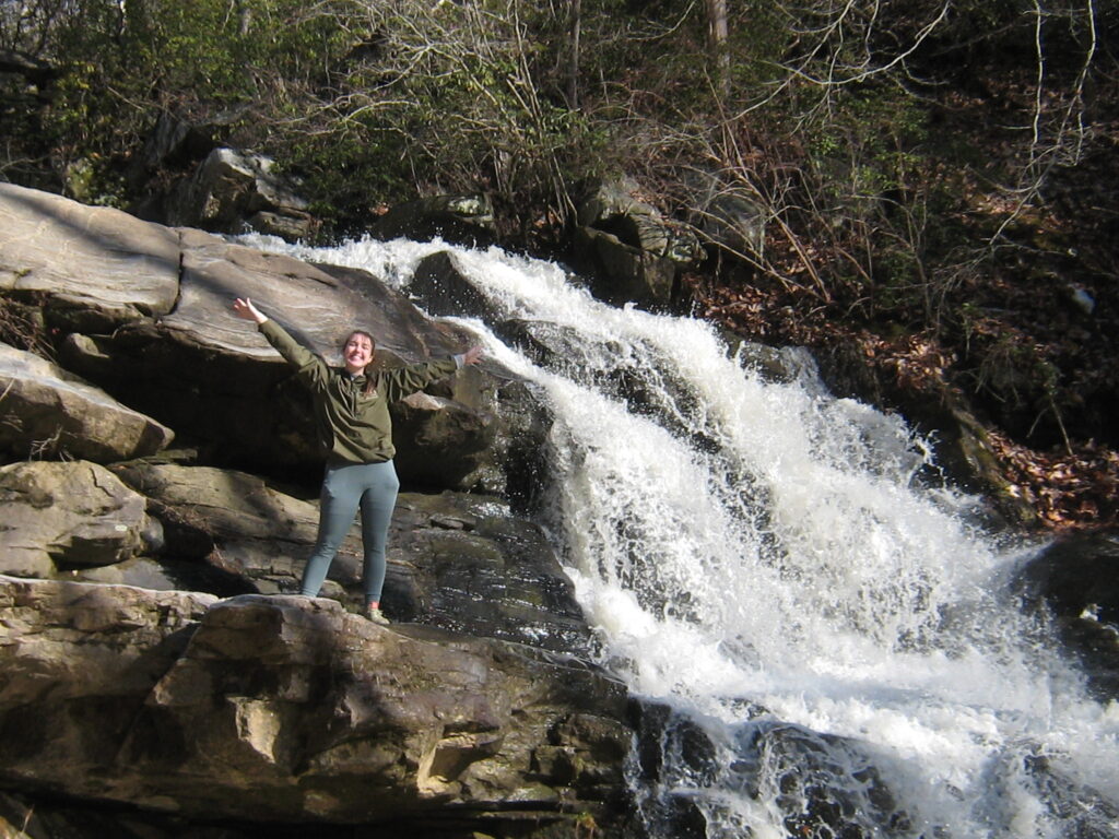
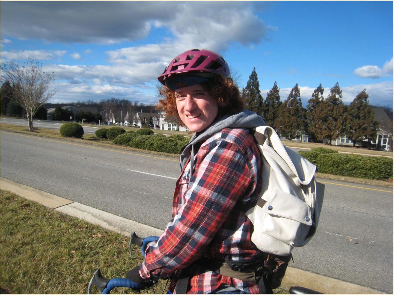
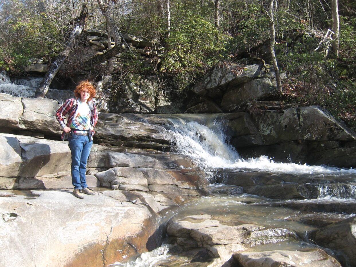
UMW alumn Christina Baker '23 poses next to the England Run waterfall. | Max Steinbaum, The Weekly Ringer
by MAX STEINBAUM
Staff Writer
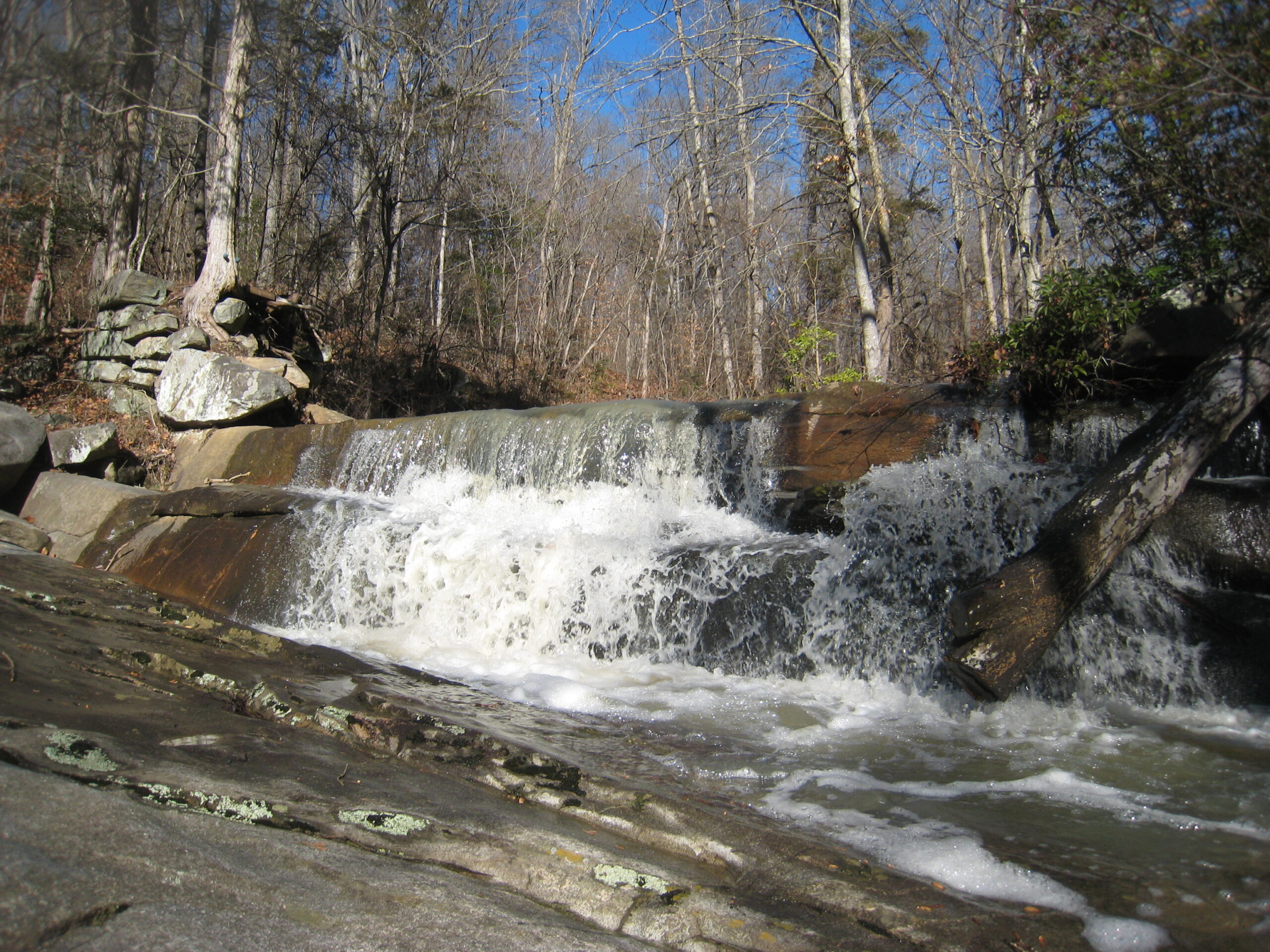
I had heard legends of a towering waterfall across the river on the other side of I-95, and it had intrigued me for quite some time. After plenty of research and multiple expeditions, I can confidently report that a five-mile bike ride can lead you directly to the England Run waterfall, and I am convinced that everyone should experience the journey for themselves.
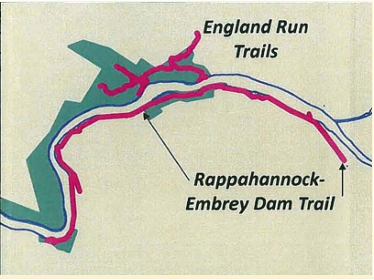
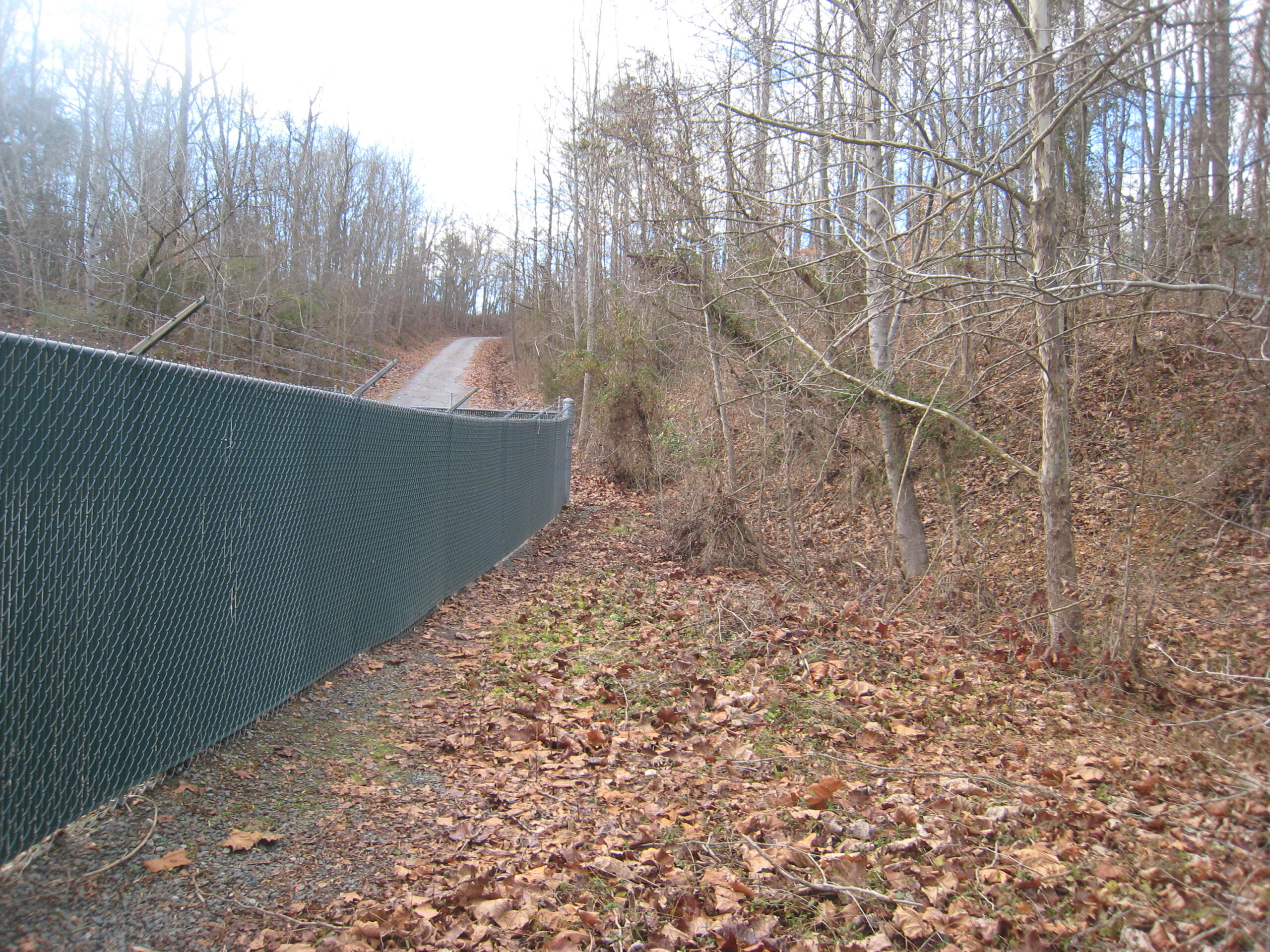
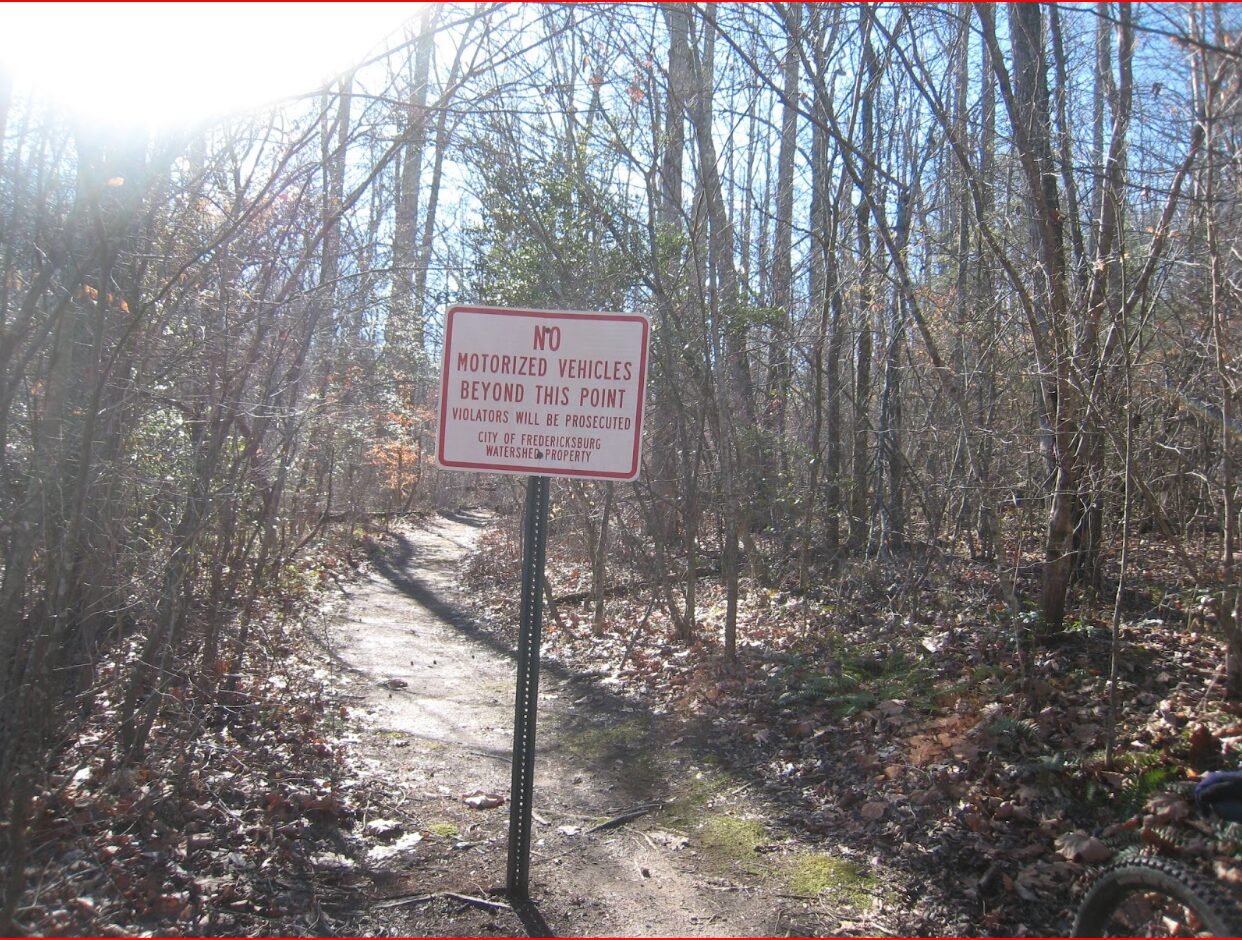
Our story began in 1969 when Fredericksburg gained land along the banks of the Rappahannock and Rapidan rivers from the Virginia Electric Power Company—according to the City of Fredericksburg’s website. Today, this Fredericksburg Watershed-owned land is sparsely dotted with trails, and the most dense trail system is located at England Run, just two and a half miles from campus as the crow flies.
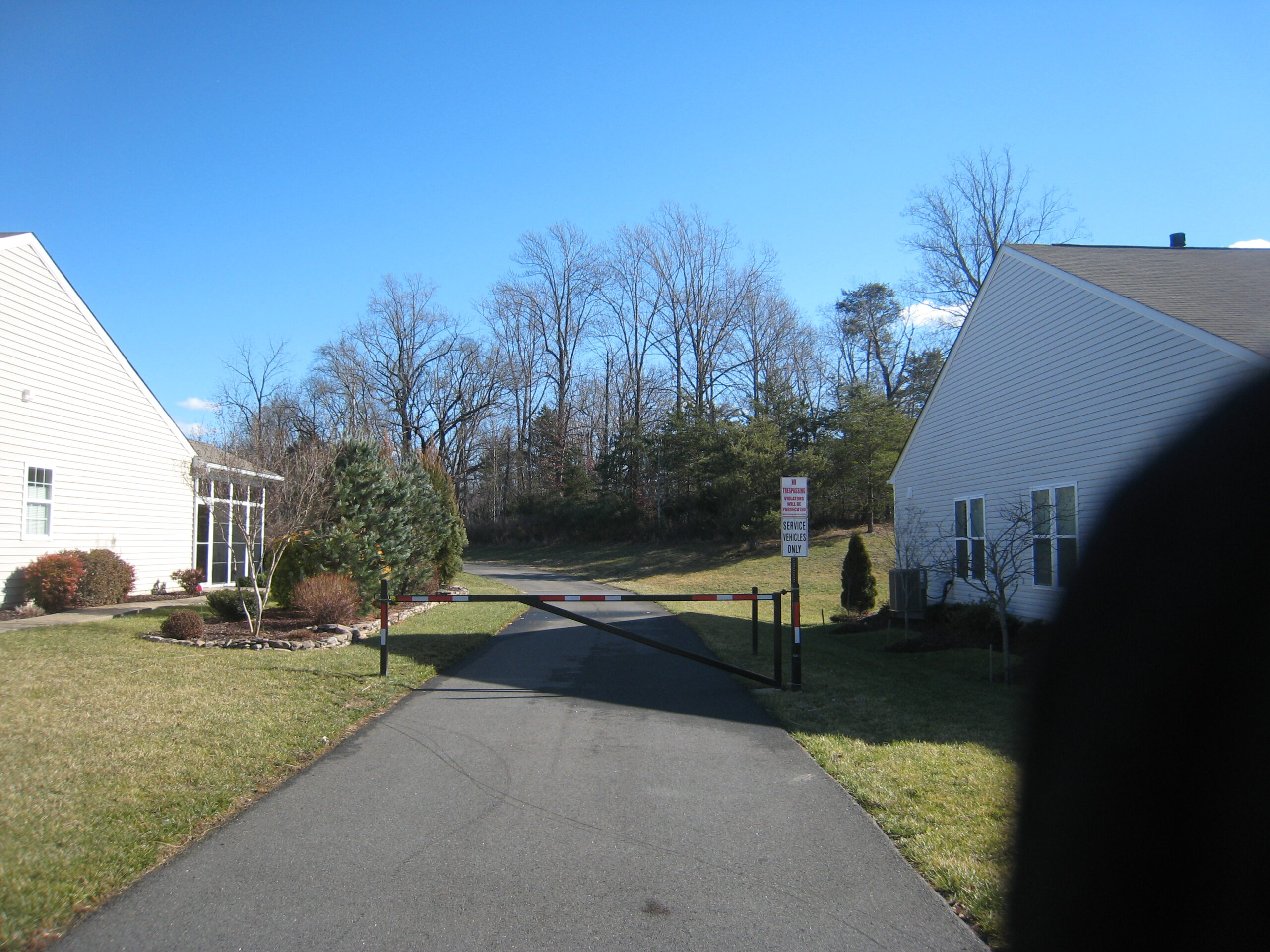
My initial journey ended unsuccessfully, as I couldn’t find parking and felt unwelcome in the subdivision because of various security measures that were required to pass through to get to the waterfall.
However, I recently received a road bike from some local friends, Zach Santulli and Jon Reed, as I plan to participate in the weekly Bikes and Beers rides, so I took it on a shake-down ride to England Run. With no parking involved, I was confident that I could zip through the subdivision without causing a disturbance.
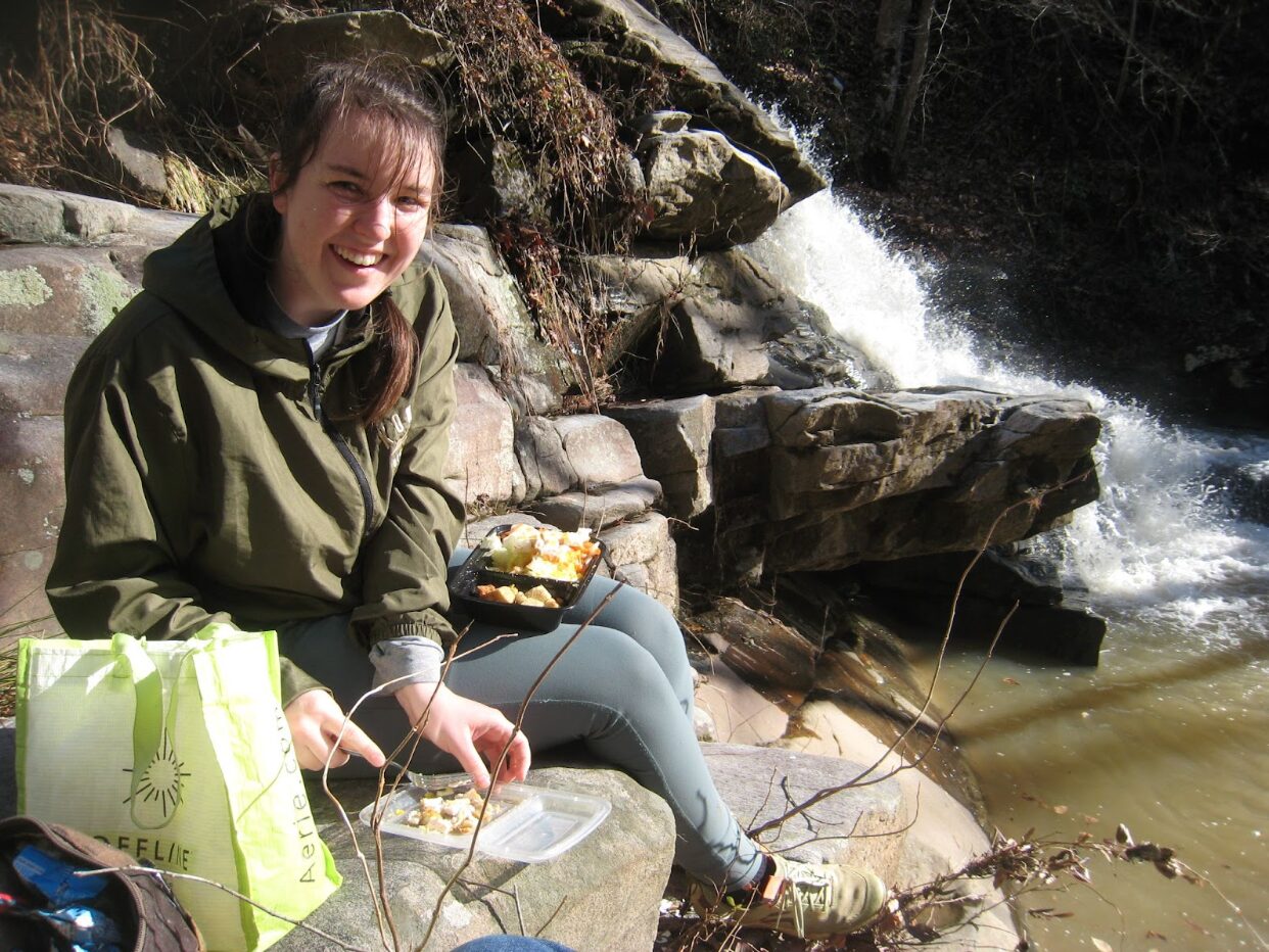
What I found was so much more beautiful than I could have ever imagined, so I had to go back for a picnic the next day.
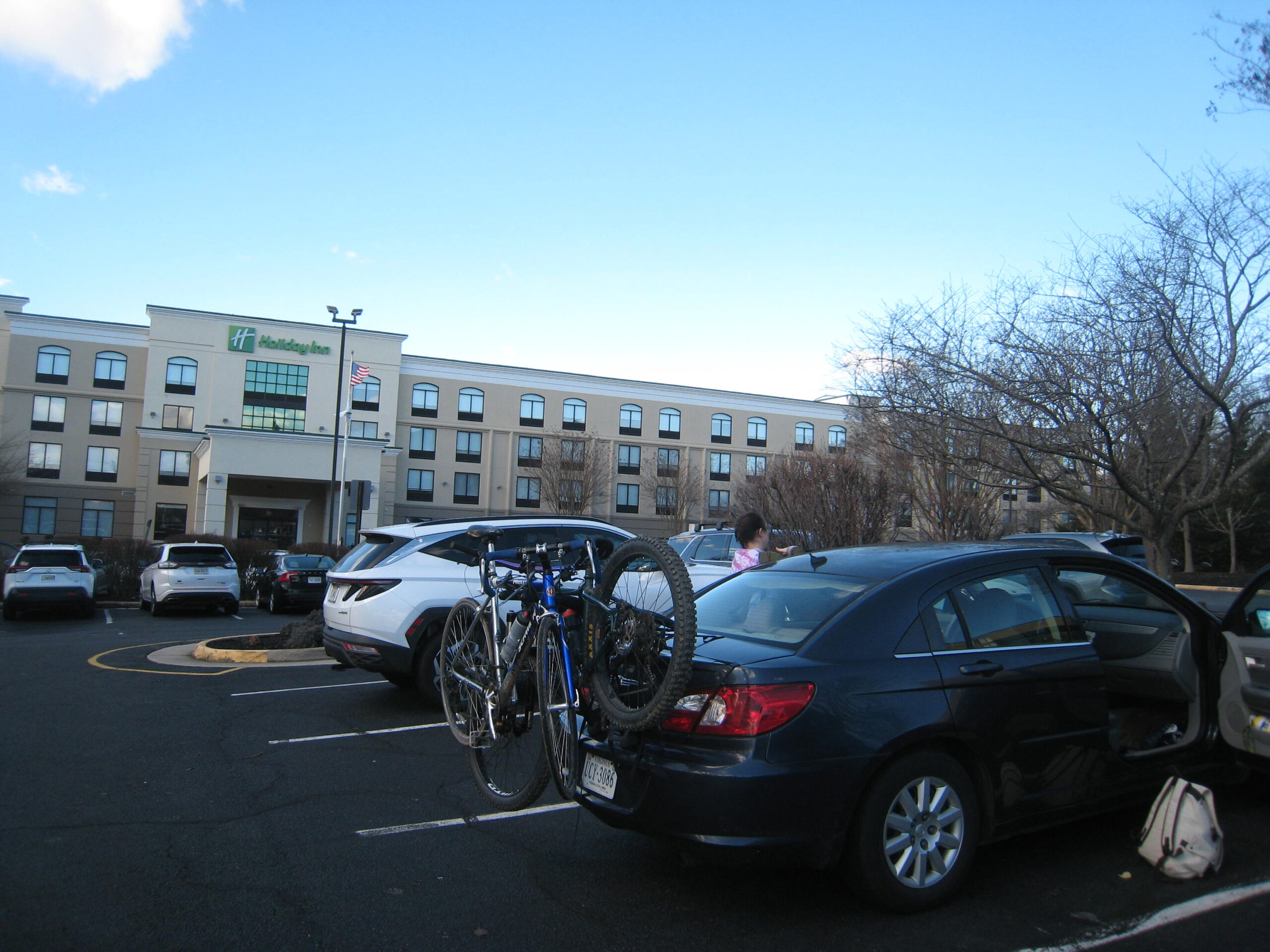
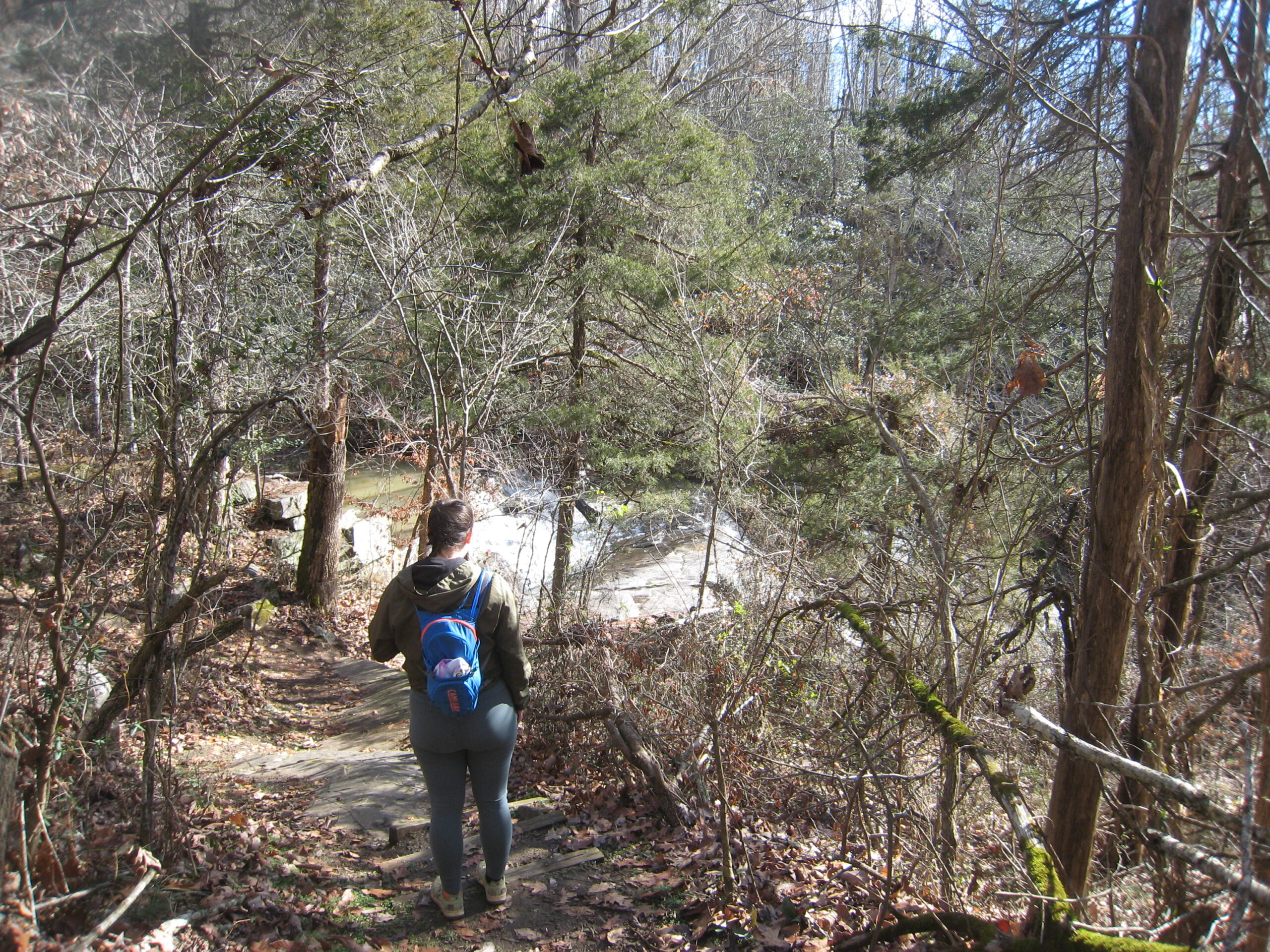
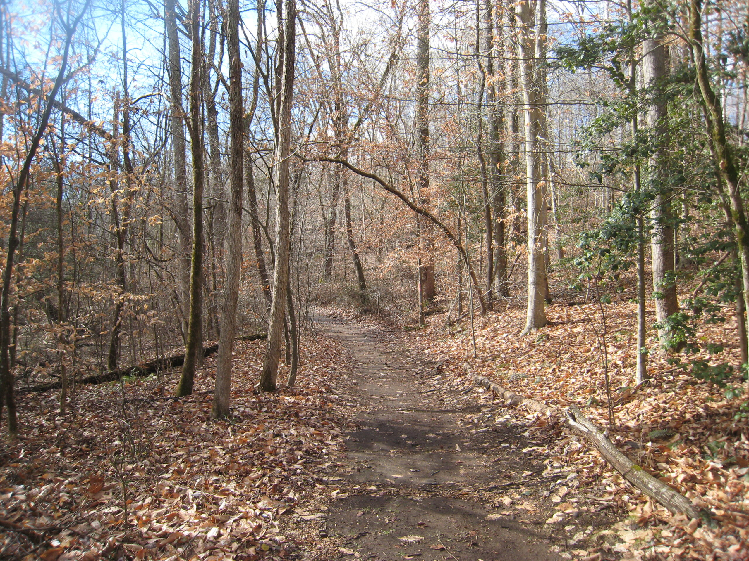
Christina Baker ‘23 and I decided to park in the back of a Holiday Inn and ride to the waterfall, as part of the sidewalk that leads from campus is still under construction. Additionally, although there is a five-mile road that leads you to the waterfall, accessing a fire road off of Truslow Road cuts two miles off your ride.
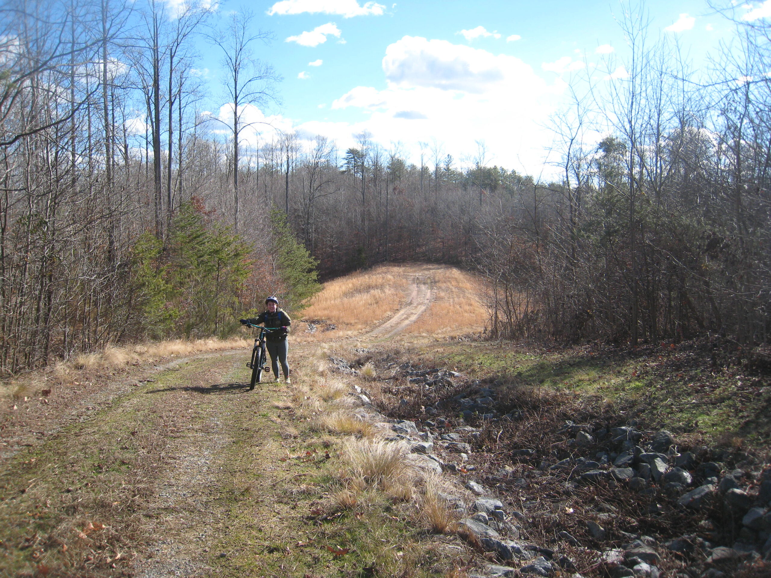
The whole ride is accessible for any bike. To prove this point—and because my Salsa Timberjack named “Barney” was in the shop—I took my Schwinn Prelude, “Luda,” and Christina took her Salsa Timberjack, “Odysseus.”
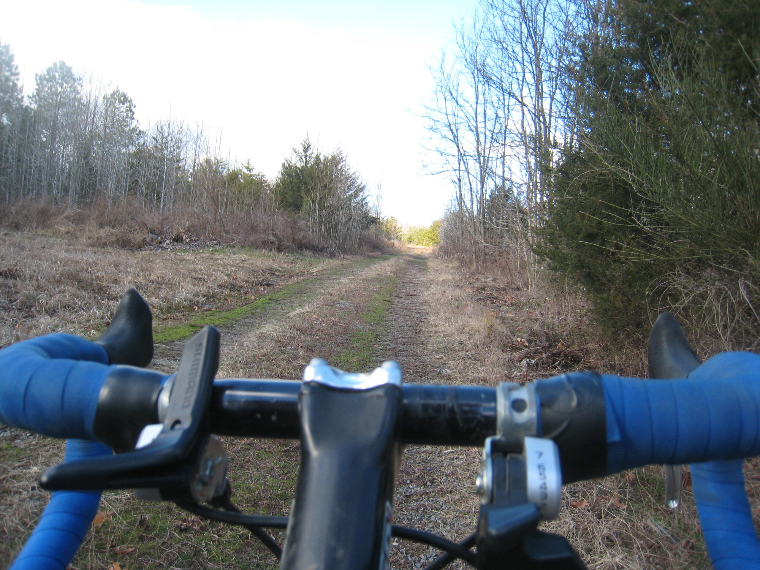
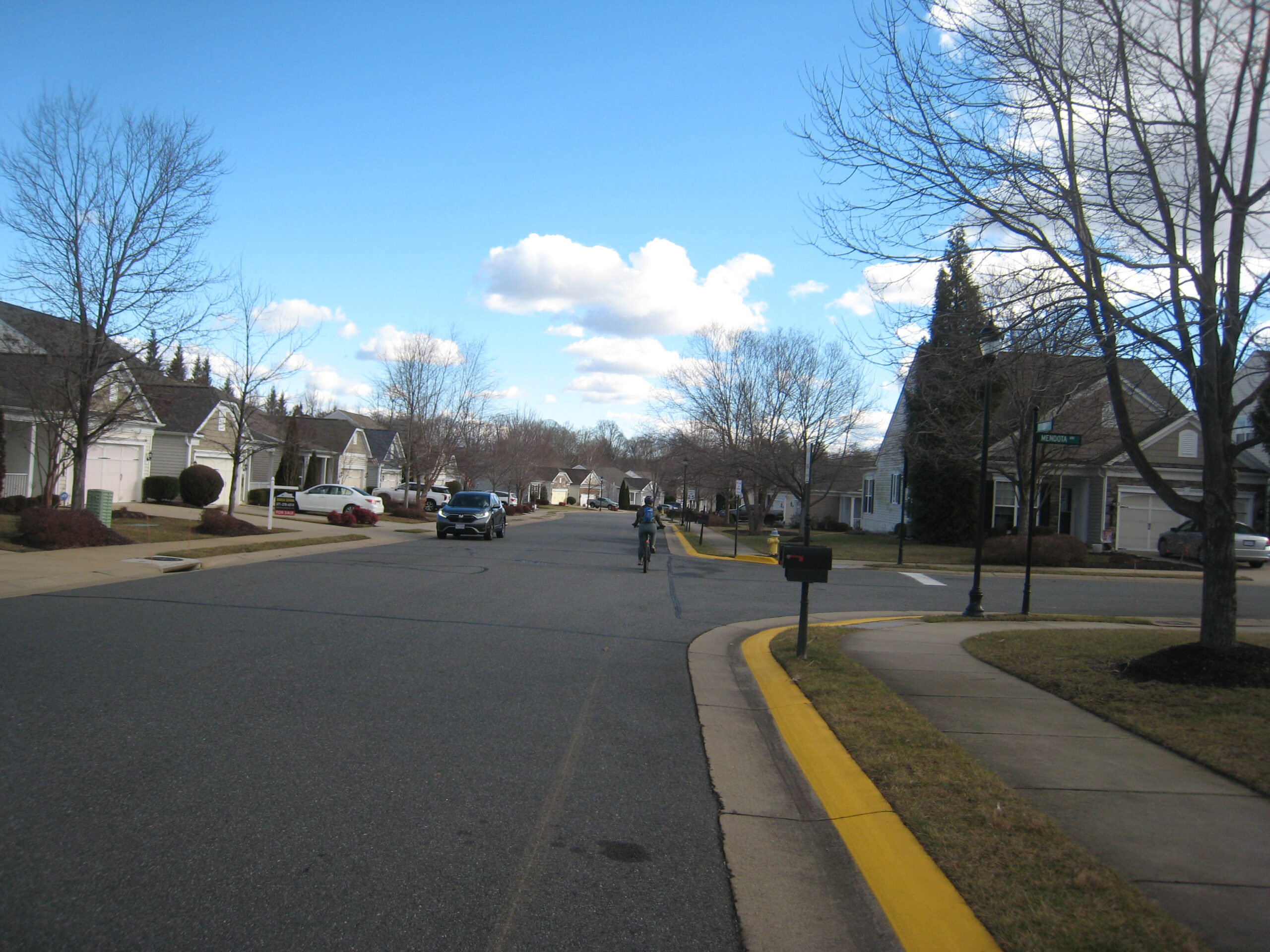
Sometimes we were more hiking than biking, but things were fairly smooth throughout, even on the trail. Even cutting through subdivision was a piece of cake, since nobody was out on a windy winter day.
When we finally arrived at the waterfall, we set up for a picnic and enjoyed basking in the spray of the falls and the sun coming through the trees.
The actual trail was enjoyable, flat, comfortable and fairly accessible, which raises the question: why isn’t this trip being shared as one of the Fredericksburg area’s best quick hikes?
Firstly, there is a subdivision that creates a barrier to this local, natural wonder, restricting access to public land. In addition, maps of the trail system can only be found on Fredericksburg’s website rather than Google Maps or Gaia GPS, which I usually use.
I hope that documenting this trip inspires more adventures to come for anyone reading this. Regardless of how or where you do it, getting out and exploring nature is vital to preserving one’s mental and physical health.
Living in Fredericksburg, we are incredibly lucky to live close to so many natural destinations that attract and encourage visitors. Additionally, Fredericksburg’s trail systems —Alum Spring, the Canal and Rappahannock Heritage paths, the Quarry and Motts Run—are all splendid sites that are within four miles of campus. Conveniently, these trails are also mapped out and open for public access, so I encourage you to go out and explore somewhere new this semester; you never know what you might find.